Road tripping the Northern Cape : Day 7 : Resting at Khamkirri

This was Good Friday and we spent a peaceful day at Khamkirri, going for an early morning 5km nature walk, broken halfway by a stop for Bible reading and contemplation. 

Getting back, we had a late brunch or rather early lunch, after which we lazed around and I finally managed to start catching up with my photo editing and blog writing.

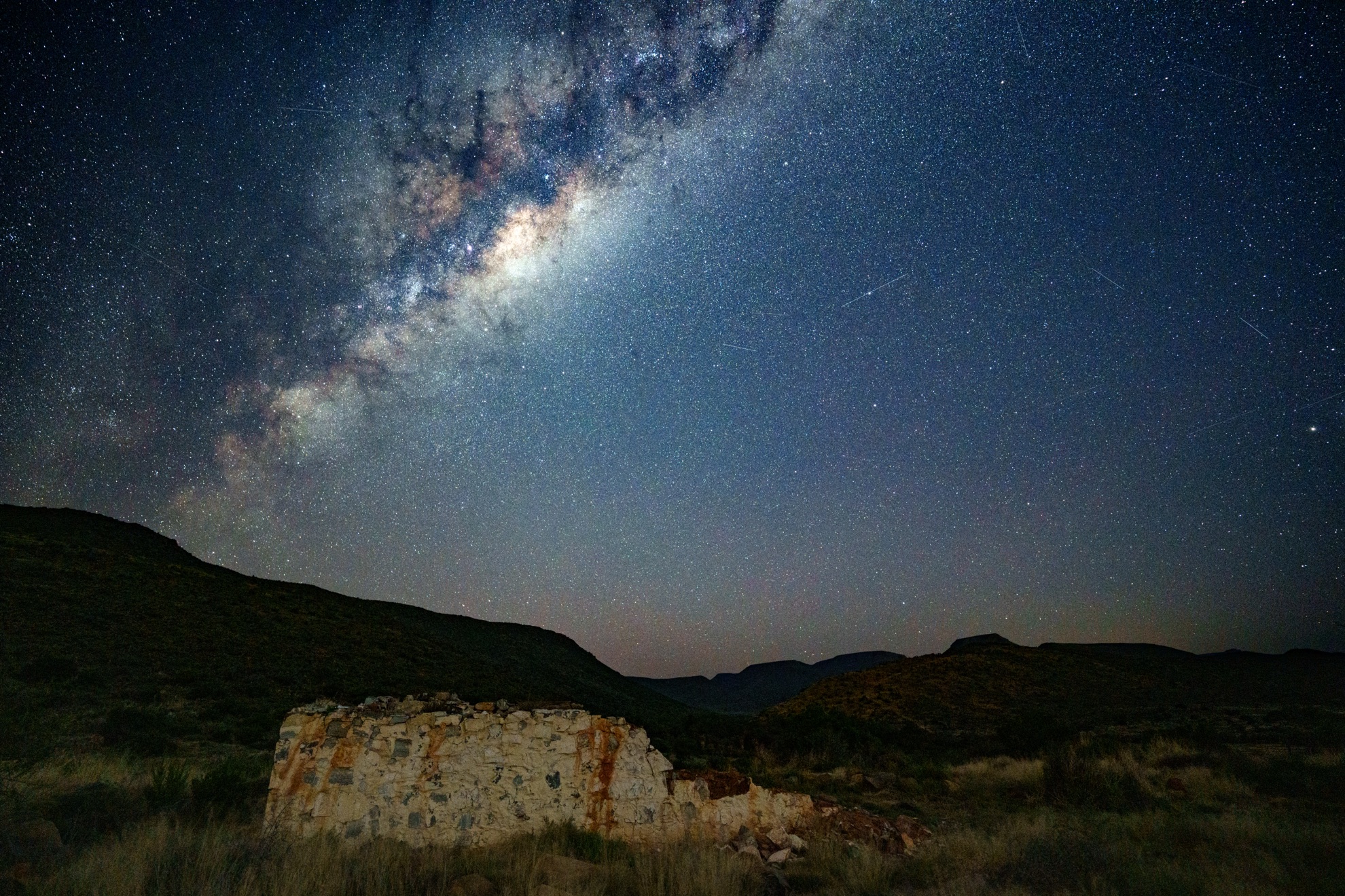
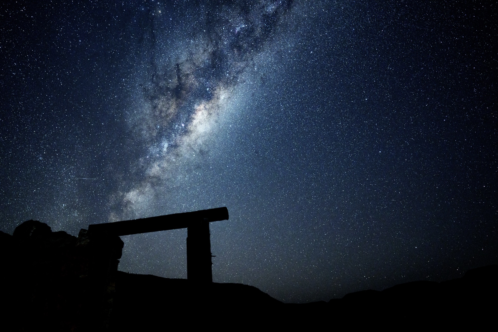
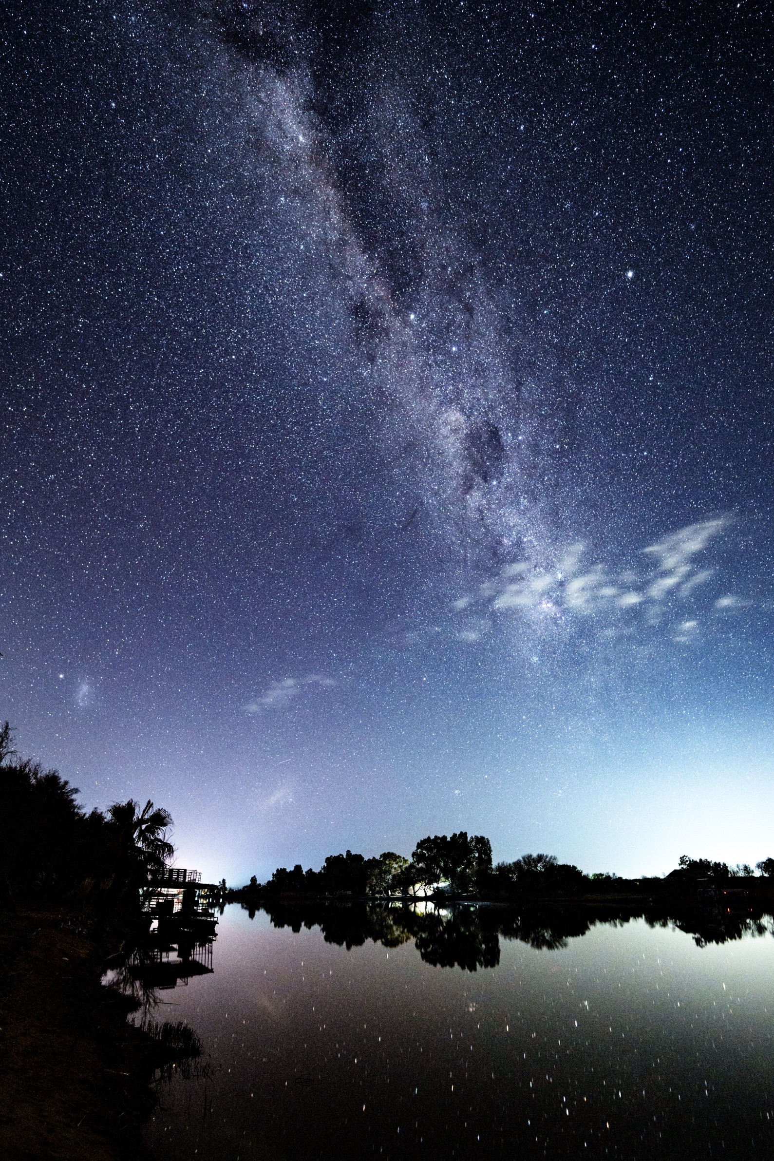
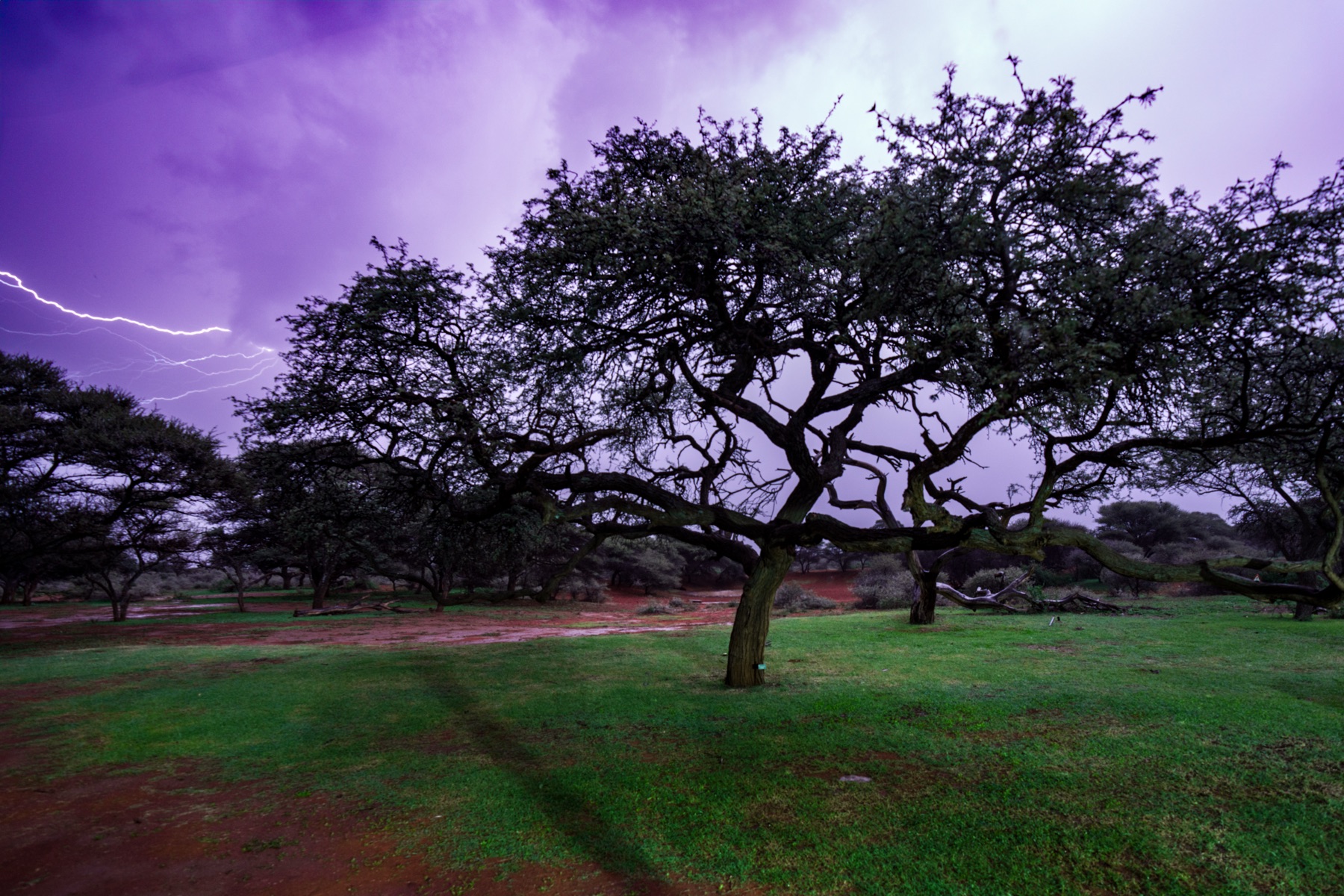
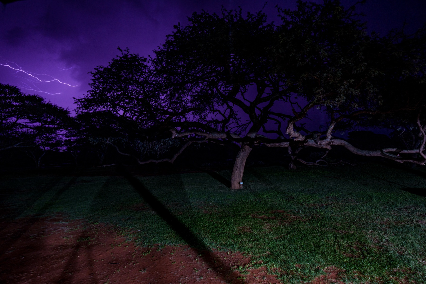
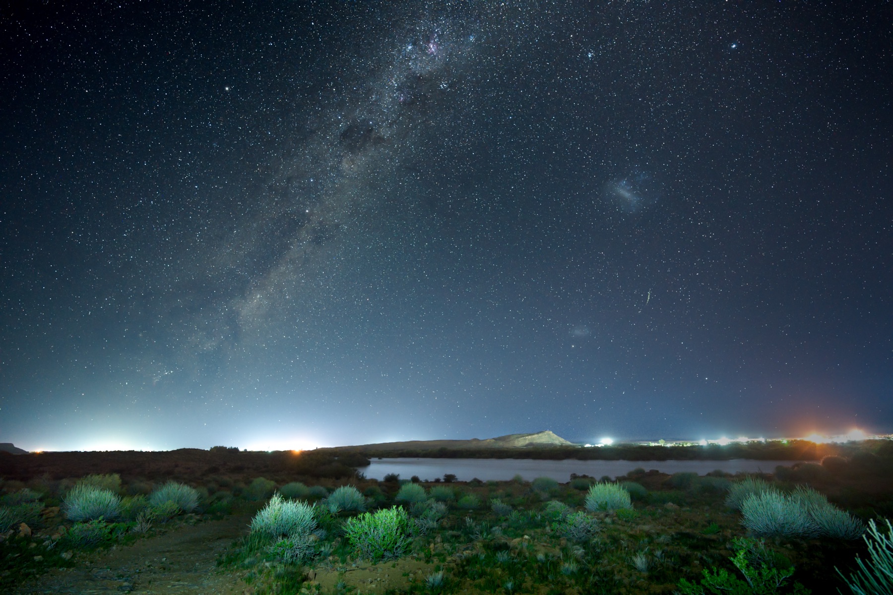
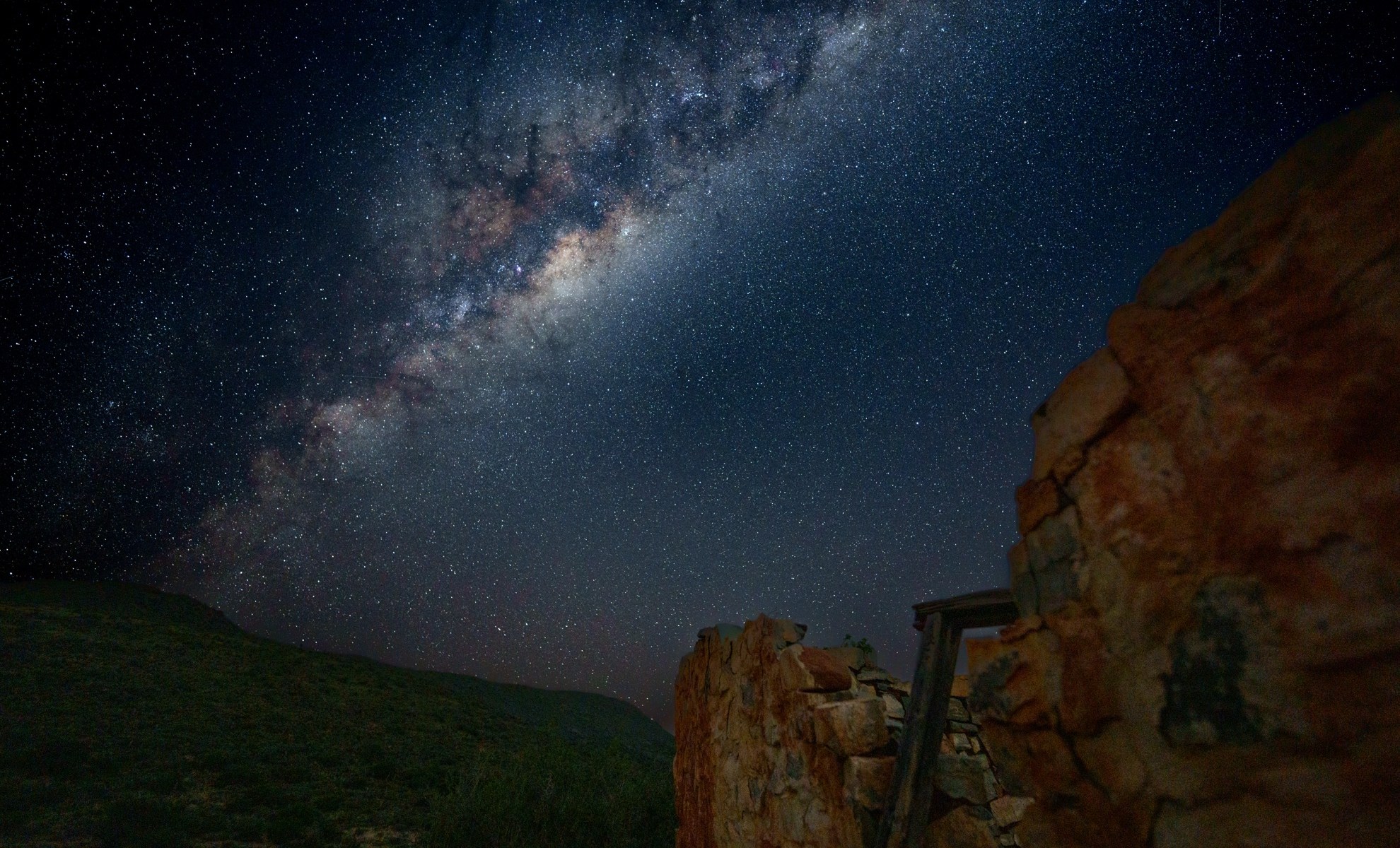
That evening was my first (and, as it later turned out last) real opportunity on the trip to do some astro photography and I managed to get a few pleasing shots by walking a few hundred meters away from the campsite.

Road tripping the Northern Cape : Day 6 : Twee Rivieren to Khamkirri

We left Twee Rivieren early, planning to visit Augrabies Falls before moving on to our campsite at Khamkirri. Our first stop was Upington Slaghuis, where we topped up our meat supplies and had a chat with the locals, gathering good information for the rest of our trip.

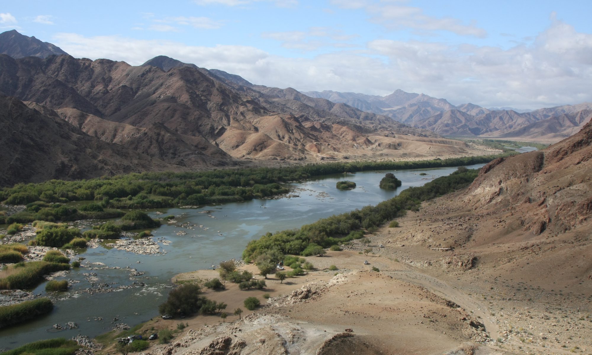
Leaving Upington, we saw a road sign for Kanoniki Padstal and decided that it looked like an interesting stop for coffee. Turning off the road, we had our first view of a very full and fast flowing Orange River, crossing onto Kanon Island to the farm stall. We had excellent coffee and pancake and an entertaining chat with the owner.

Next was a fuel stop in Kakamas, with a visit to Tops in order to top up our beer supplies. On our way to Augrabies Falls, we made a stop at Marchant butchery, where we had previouly bought excellent curry beef sosaties.

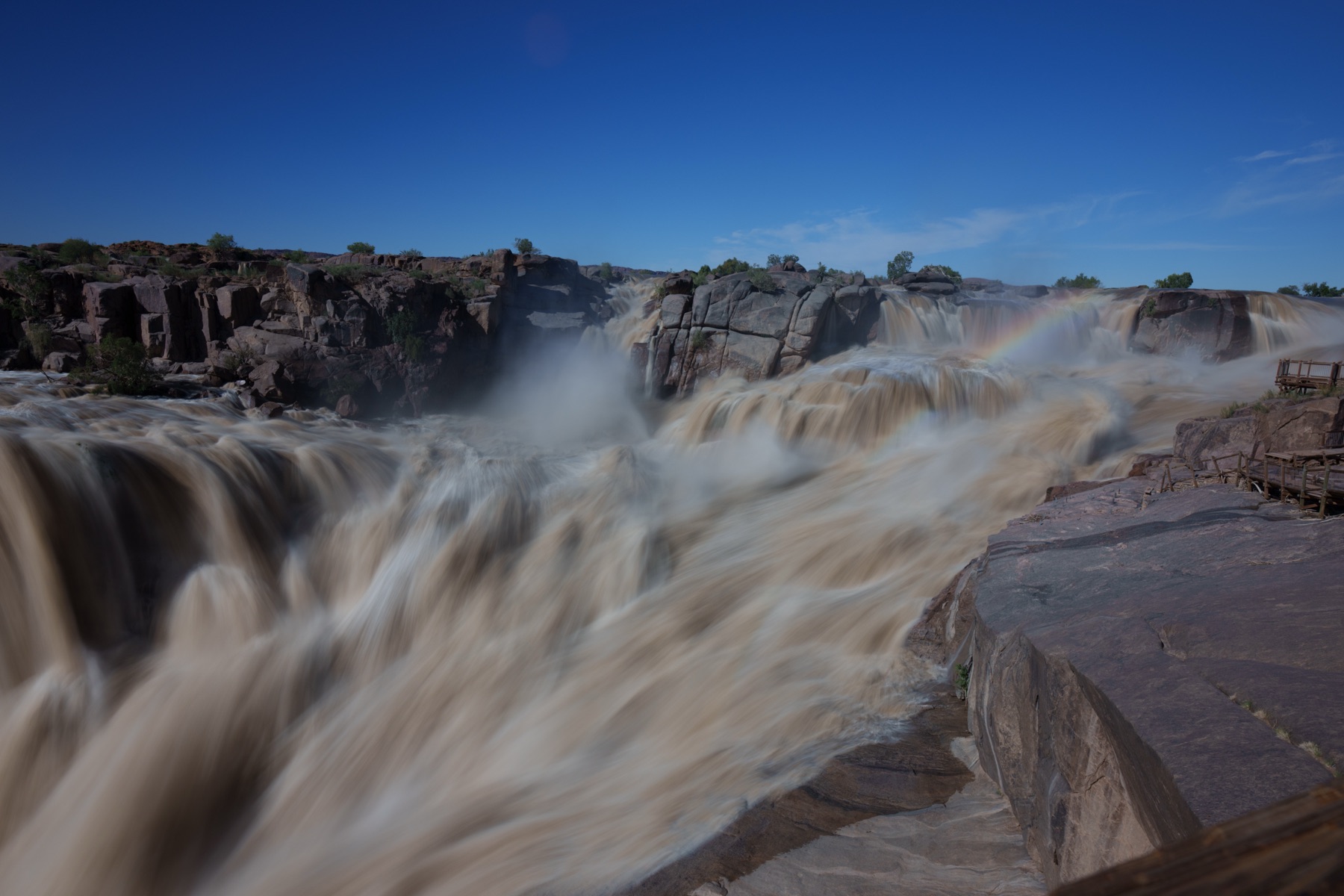
At last, we were on our way to Augrabies Falls, getting there 2 hours later than planned, but still well in time to view the Falls in all their glory. I had long wished to visit the Augrabies Falls at a time of high flow, our previous visits having been at times when water levels were much lower. This time we were told the flow was just under 3000 cumec, compared to our previous visits at around 600-800 cumec.

Further below the falls, one could experience rain coming up from below, with pretty rainbows around.

Properly soaked from the falls’ spray and exhilirated, we turned for Khamkirri and learned not to trust Garmin or Google maps for navigation in these regions, since they seemed to conspire to lead us to a dead end.

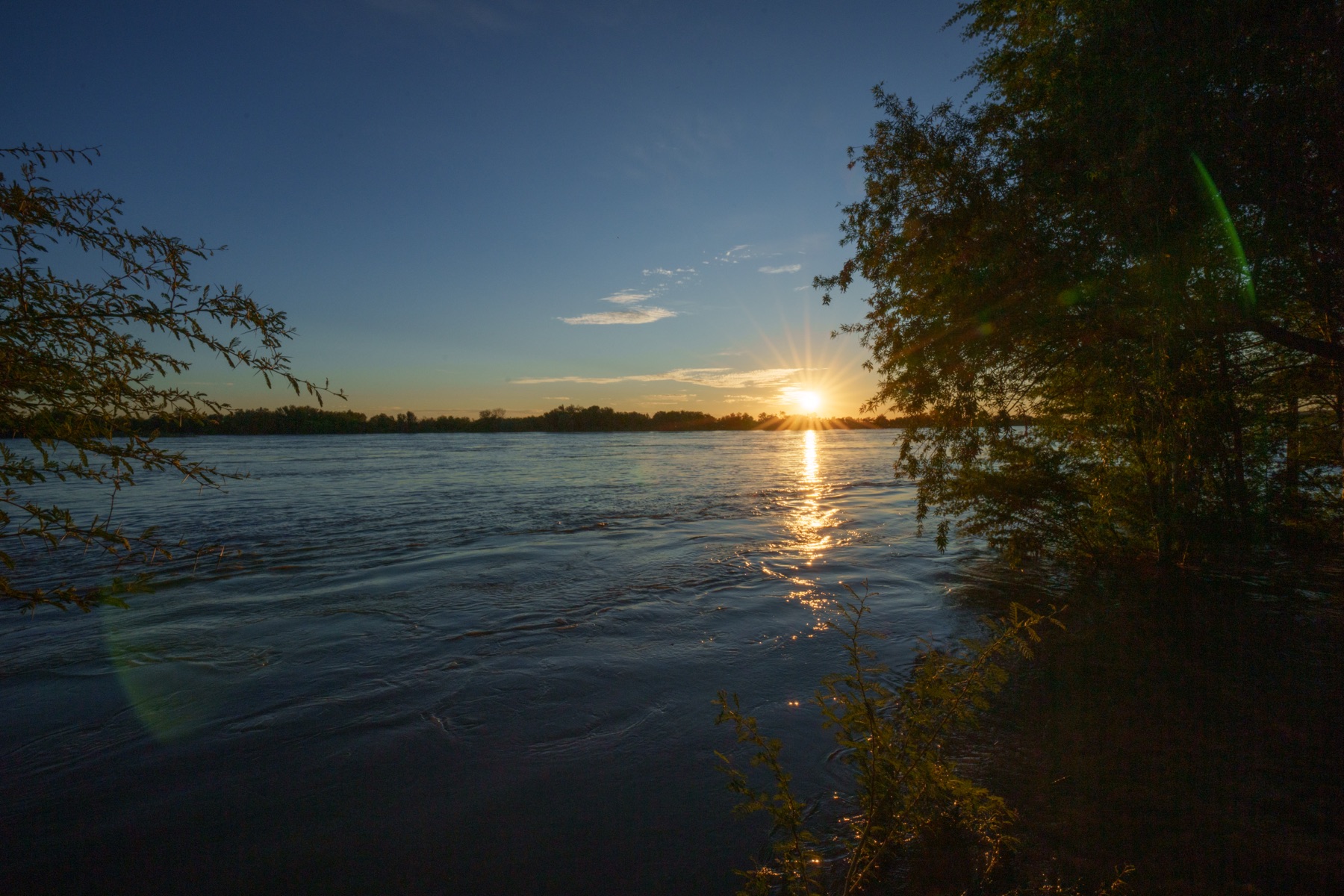
After phoning Khamkirri reception for instructions, we eventually managed to get there just in time to see a magnificent sunset over the Orange river.

Road tripping the Northern Cape : Day 5 : Nossob to Twee Rivieren

Once again we decided to do the transition between rest camps as a game drive. Leaving Nossob early, we soon saw a Pale Chanting Goshawk dive down to catch its breakfast in the long grass and then fly up into a dry tree to enjoy its meal. Unfortunately we could not see what prey it had caught.

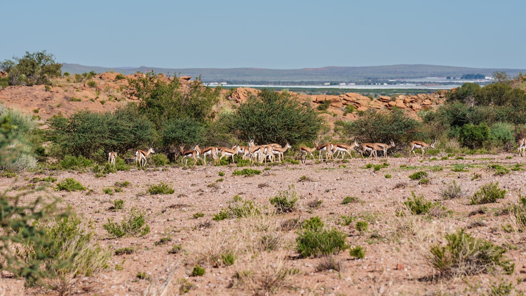
A young Springbok and its mother provided a lovely picture.

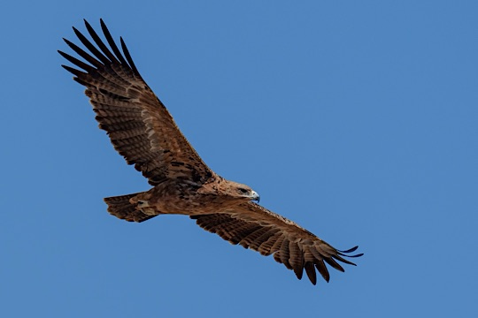
The rest of this day delivered little in terms of sightings. A few times we saw raptors circling in the distance. Once again I have to rely on Merlin’s identification, since I am unsure.

More Oryx, a few giraffes and the unusually green Kalahari with flowers reminding one of Namaqualand in September, were our enterainment for the rest of the day.

We did come across a traffic jam caused by a cheetah resting close to the road, next to a recent kill, but the number of cars and their positioning precluded any photographic opportunities.

Not a particularly exciting day with relatively few opportunities for interesting photography, but nonetheless an enjoyable and relaxing day in the Kgalagadi.

Road tripping the Northern Cape : Day 4 : Meerkat sanctuary to Nossob

We were up early, eager to get to the Kgalagadi entrance gate and start our drive to Nossob. The plan was to use the drive into the Park as our first game drive, so although only 166 km from Twee Rivieren, we were estimating that it would take us between 5 and 7 hours.

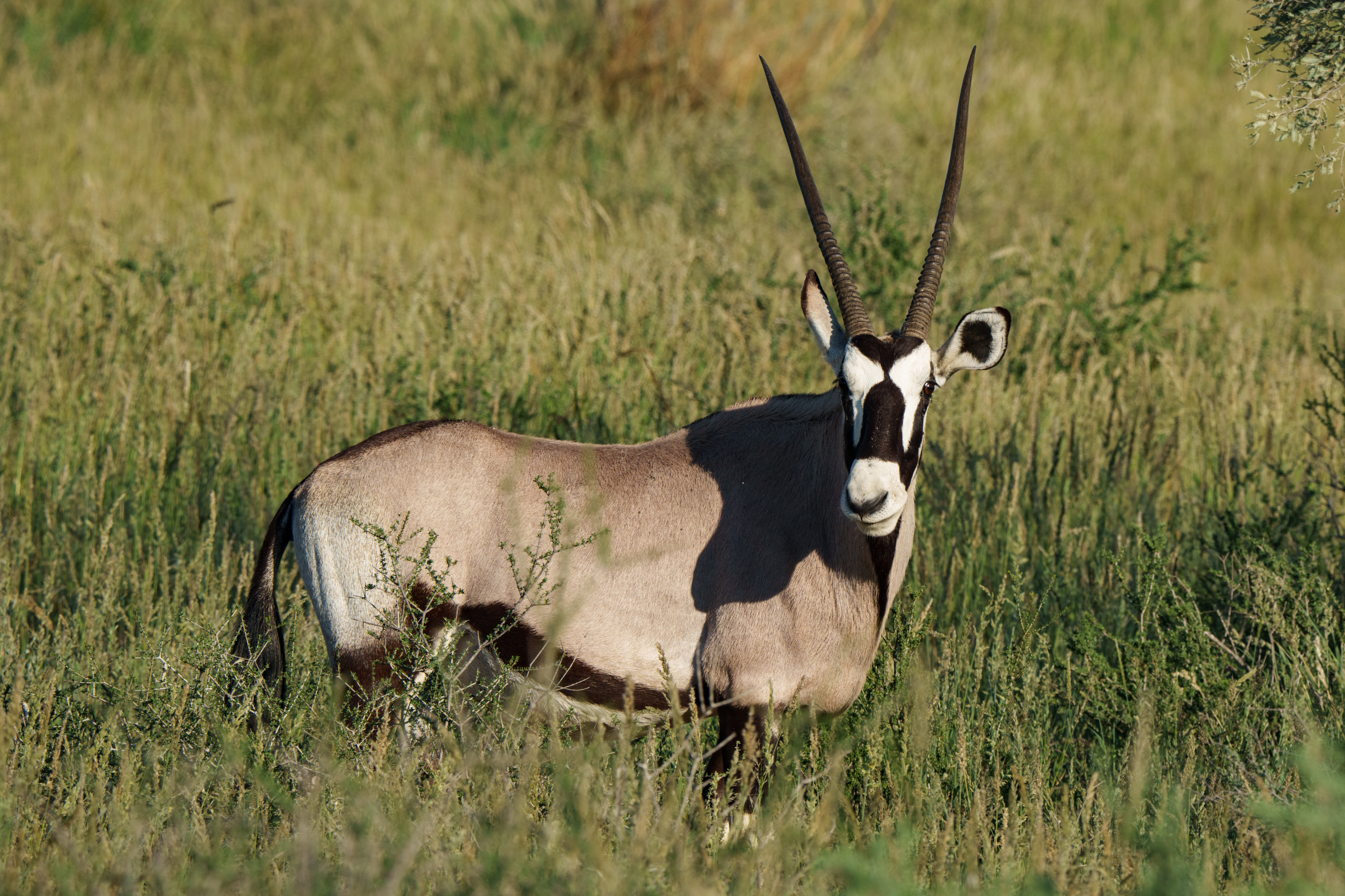
With the recent rains, the grass was lush and green and, apart from large numbers of Oryx and the occasional Black Backed Jackal, no too many four legged animals visible.

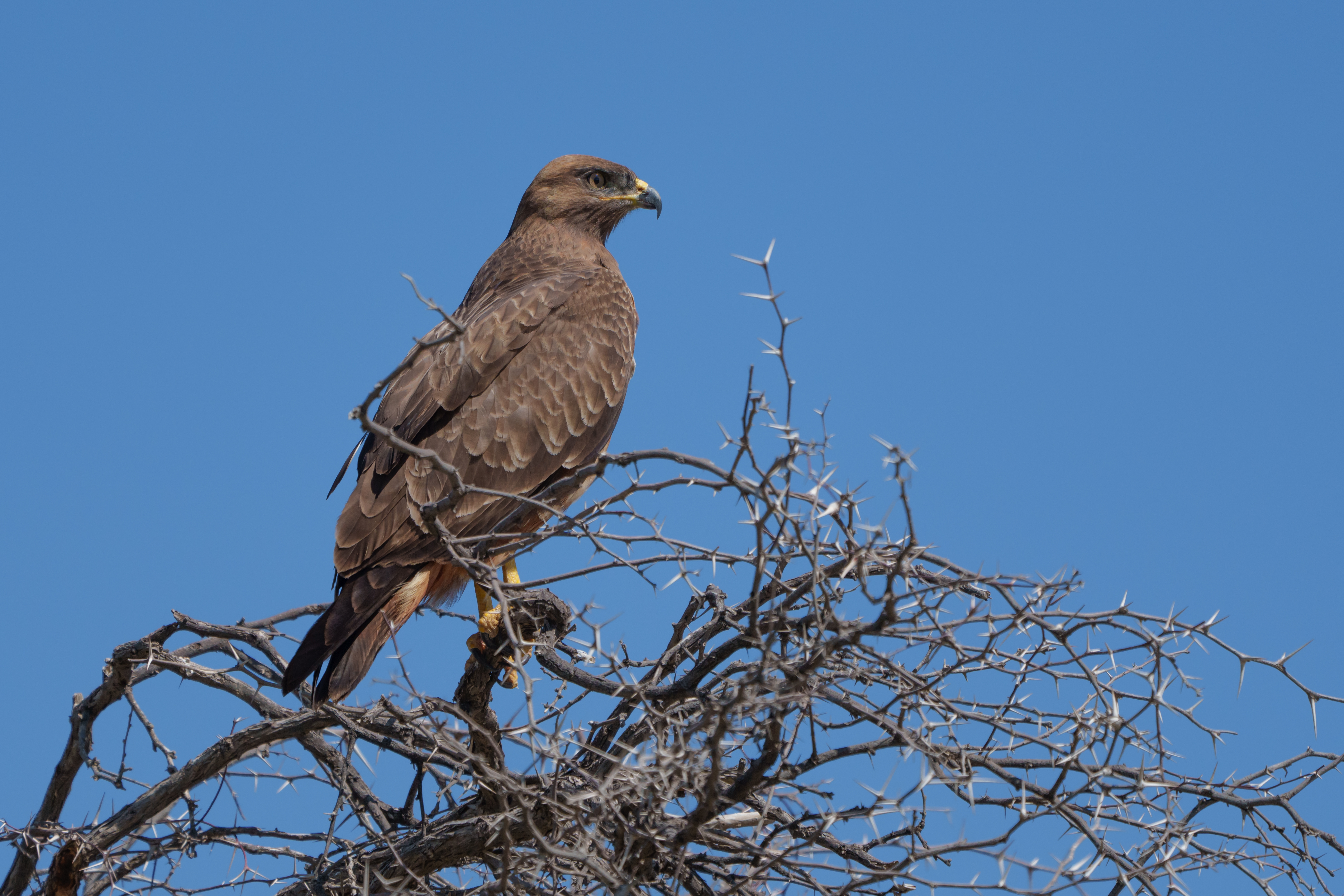
However, the birdlife did not disappoint. Since I am still a beginner in the bird identification game, I rely on my Merlin app to identify them for me. If you disagree with my ID please let me know.

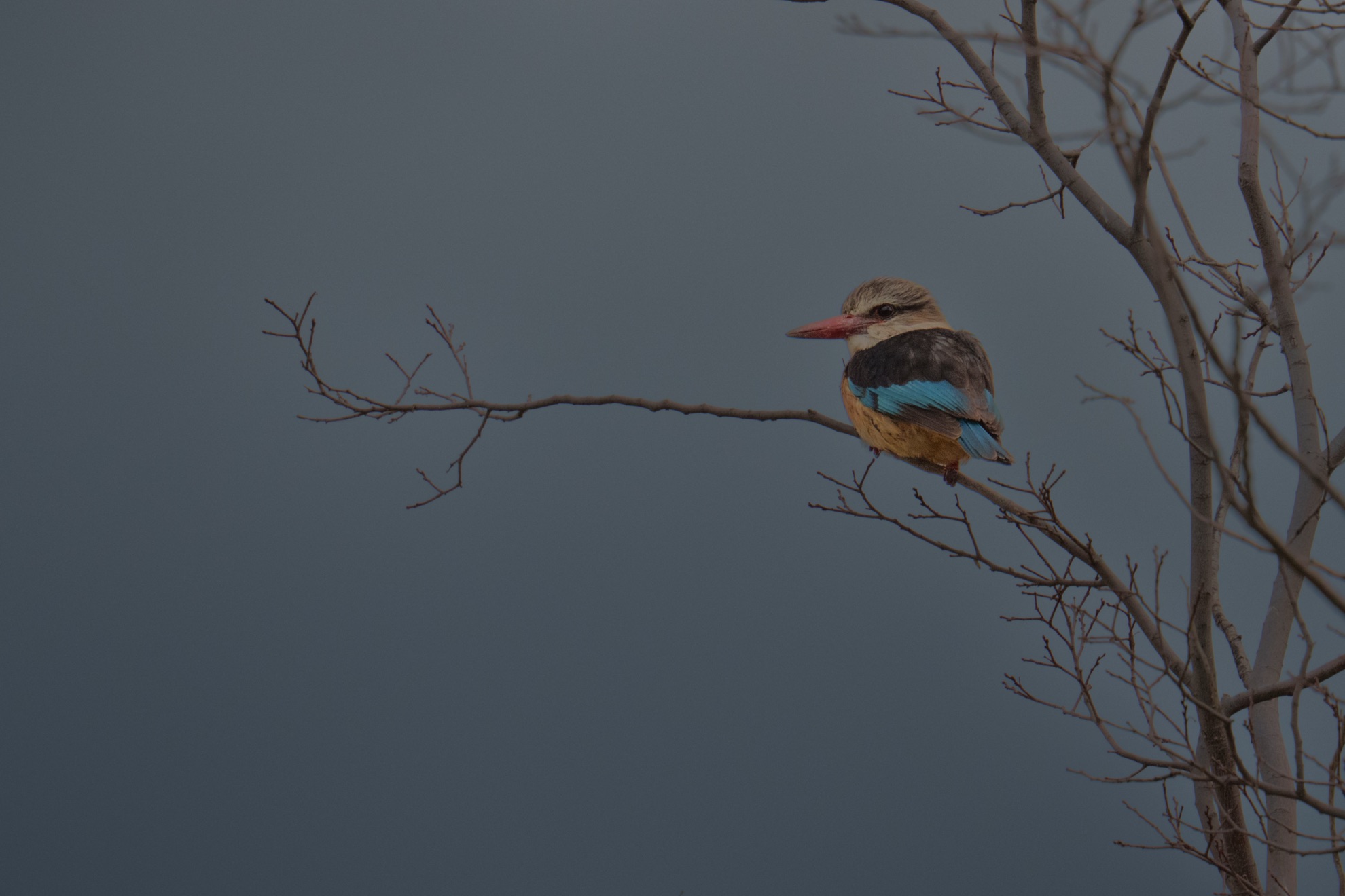
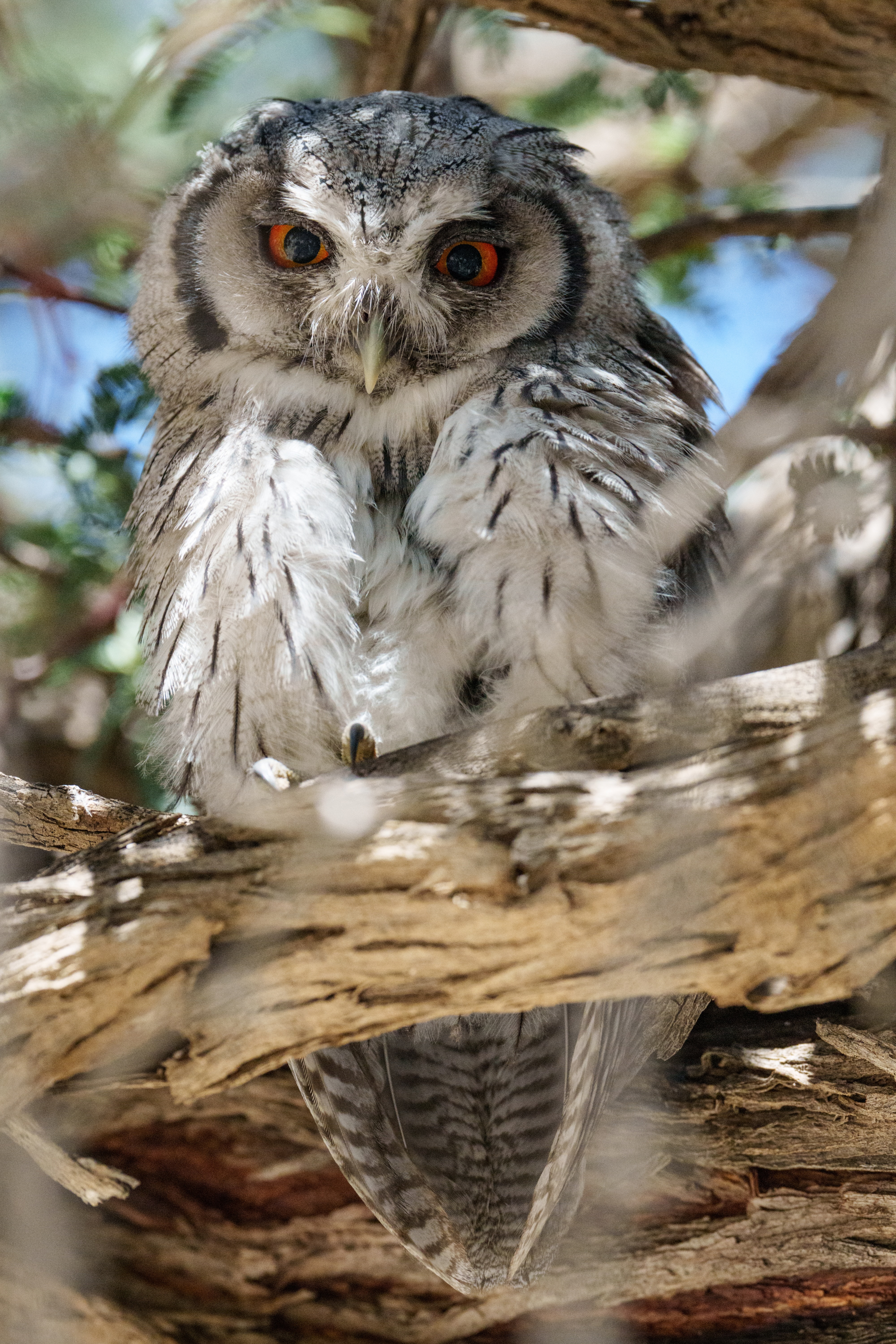
Stopping at the Melkvlei picnic site, we got a nice surprise in a tree right above us

We also saw many Kori Bustards walking along, but didn’t see any of them in flight.

Arriving at Nossob in the mid afternoon, we checked in and settled into our campsite. At the shop, we were informed that they had run out of Wi-fi vouchers and the new vouchers would only be arriving in two days’ time, so although there was Wi-fi available, we could not connect to it. Once more, no uploading of photos or blog posts possible.
A late afternoon drive, yielded a sighting of a very sleepy lioness lying in the road north of Cubitje Quap. Occasionally, if a car came too close, she would open her eyes or lift her head.

I got a nice photo of our Toyota Hilux reflected in her eye.

The evening was rounded off with a braai and “kuier” (no proper English word exist to encompass everything included in that Afrikaans word) around the fire.

Road tripping the Northern Cape : Day 3 : Relaxing at Meerkat Sanctuary

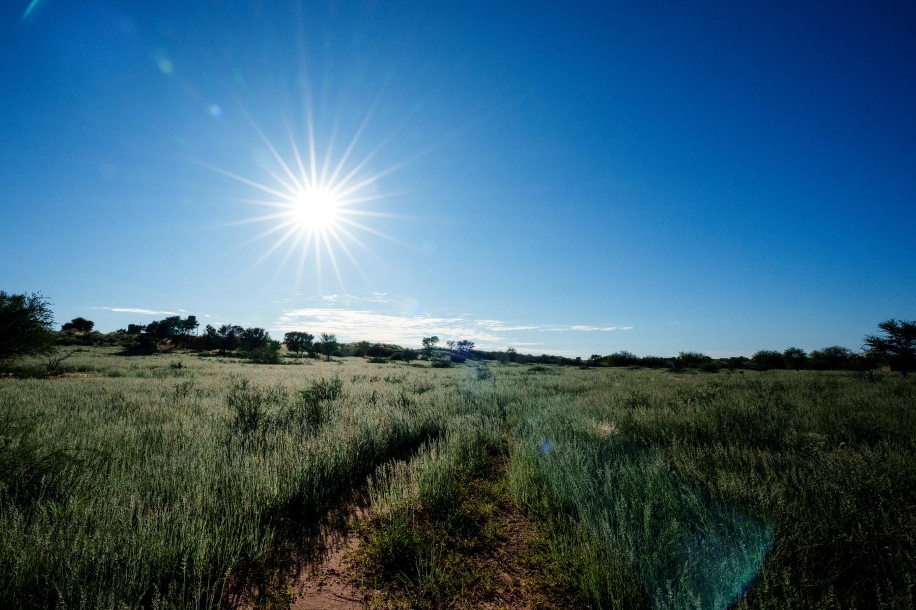
Once again I was up before sunrise, in time to take a photo of the rising sun. The red dunes of the Kalahari were green after the recent good rain and the unique smell of Kalahari sour grass was in the air.

We decided to have a relaxing day, lazing about, reading and going for a short hike, including a brief visit to the Meerkat rehabilitation centre on site.

As always, my camera went along for the walk.

By this time we had realised that we had very limited cellular and internet connection and uploading photos and blog posts had become impossible. But this is part of the charm of traveling in these remote areas.

Road tripping the Northern Cape : Day 2 : Britstown to Kalahari Trails/Meerkat Sanctuary

I was awake at 4:00 and saw that the previous evening’s clouds had departed. Quickly grabbing my camera, I went outside to photograph the moon.

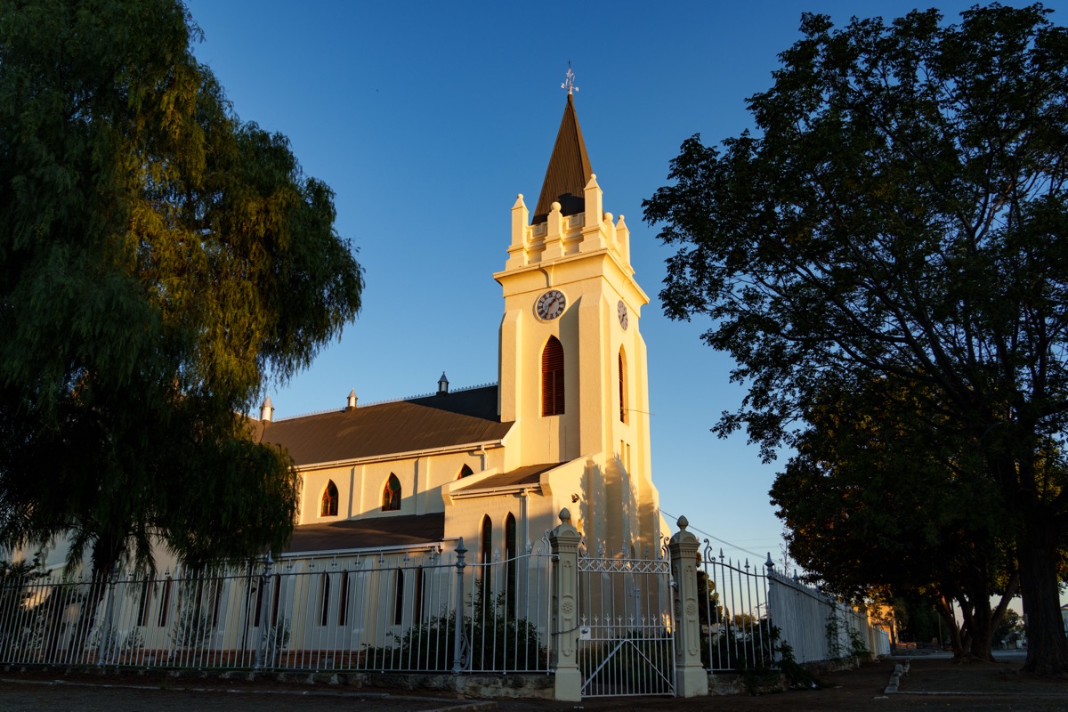
As the sun was rising, I decided to take a walk to photograph the church in Britstown. It is noticeable that the church buildings seem well maintained in the small towns, even when the rest of the town is in a sad state.

Driving from Britstown, the road led us through Upington and past many small towns and settlements. Along the way, one sees many ruins.

Thanks to a leisurely driving pace and a few stops along the way, we reached our destination at Kalahari Trails/Meerkat Sanctuary quite late in the afternoon. Our rustic, yet adequately equipped, campsite was quiet and peaceful.

We set up camp and settled down for a braai as the sun was setting.

As the moon was rising, I decided to take some more moon photos.

We settled in to our rooftop camp bed early, for a good night’s rest.

Flowers, Stars & More: The missing videos

So, at last, after a hectic few days back at home, Liana managed to get around to editing her videos, so here are the videos for Day 5, Day 6 and a lovely video she made using my astro photos from this and previous trips.

Day 5 blog post here

And the video for Day 5:

Day 6 blog post here

And the video for Day 6:

And the astrophotography video:

If you like the content, please subscribe to my blog to be informed of all new posts. You won’t get spammed.

And also consider subscribing to Liana’s YouTube channel by clicking the link and subscribing in the YouTube page which will open.

Flowers, Stars & More: Maps and info

Following a few requests for more detailed information about our trip, I have decided to put together some details with links for routes on Google Maps, so no photos or videos in this post, but suggestions for an itinerary which will show you some of the most beautiful parts of our country, especially if you do it in flower season, which is usually sometime between mid August and early October.

Please click on underlined text to follow the relevant links.

The resources we used in planning the trip were Google searches, Google maps, SANParks website, Booking.com and Mountain Passes South Africa website

Day 1: Summerstrand to Lentelus Farmstay, Barrydale, via Steytlerville :

Blog post and photos for Day 1 here

In Steytlerville, visit The Verandah Coffee Shop and Pegasus Early Motoring Museum

Barrydale is an interesting town, which we will definitely explore in more depth in future. For now, Lentelus Farmstay, approximately 10 km outside Barrydale, was a comfortable overnight stop.

Day 2: Lentelus Farmstay to Orca House, Yzerfontein, via Bainskloof Pass and Postberg section of the West Coast National Park.

Blog post and photos for Day 2 here

Bainskloof Pass is a lovely drive for those who enjoy mountain passes and history and has been declared a National Monument.

Postberg section of the West Coast National Park is only open during flower season, but the rest of the Park is open all year round. Plan to spend around 3 hours in Postberg.

Orca House offers magnificent accommodation right on the beach, is well appointed and very comfortable. Enjoy the sunset on a dune with a glass of wine in hand.

Day 3: Orca House Yzerfontein to Dogstone Cottage, Hondeklipbaai with a detour to Maskam Guest Farm

Blog post and photos for Day 3 here

Quite a few areas of gravel road, some better than others, in this stretch. We were also warned not to take the Hondeklipbaai turn off from the N7 just after Garies, but continue to the Klipfontein turn which is tarred to about halfway to Hondeklipbaai.

Along the way, a detour to Maskam Guest Farm for flower viewing and a light lunch, is quite worthwhile.

Dogstone Cottage offers lovely accommodation in Hondeklipbaai, but one must be aware that this is a very far off the beaten track little town or perhaps rather settlement, at first glance looking somewhat run down, with no fuel available (so fill up in Garies), the shops only stocking basics, the tap water a bit brackish (so take own drinking water), but probably two of the best and most affordable seafood restaurants in South Africa. Rooi Spinnekop was our favourite, but absolutely nothing wrong either with Dop en Kreef and I would suggest everyone should try both and determine their own favourite.

Day 4: Dogstone cottage Hondeklipbaai to Skilpad section of Namaqua National Park and back

Blog post and photos for Day 4 here

Google maps or your GPS will show you a shorter route, but the locals in Hondeklipbaai warned us that some of the routes in the region carried virtually no traffic and that getting stuck on those could result in a day or two’s wait for help. If traveling alone, it is therefor recommended to stick to the more frequented roads. For that reason, we took the road back via Klipfontein to the N7 and on to Kamieskroon and then to Skilpad. At Skilpad there are short hiking routes, which we did not explore due to the rain, as well as two short circle routes which can be driven. One of these is labeled 4×4 only, but in fact can easily be driven with a high ground clearance vehicle without 4×4 capability.

Day 5: Hondeklipbaai to Clanwilliam, with a detour to Graafwater

Blog post and photos for Day 5 here

A visit to Ramskop Nature Garden in Clanwilliam is quite a treat. This apparently used to be magnificent, became quite run down under municipal management, but enthusiastic locals are busy restoring it to its previous magnificence.

Day 6: Clanwilliam – Biedouw Valley – Wupperthal – Eselbank – Mount Ceder

Blog post and photos for Days 6 and 7 here

Biedouw Valley is famous for its flowers. Unfortunately we visited on a cold, rainy day and did not see it in its full glory, but from what we saw, certainly on our list of places to return to.

Do not be fooled by Google Maps telling you this is only 2h47min drive. Eselbank pass, which is supposedly a 4×4 route, although the locals apparently drive there with their Nissan NP200’s, will slow you down and at one point your GPS will start adding on two minutes to your ETA for every one minute you drive. But it is completely worth it for the amazing scenery.

Mount Ceder offers a range of accommodation options. We stayed in a lovely self catering Villa overlooking the valley, a great spot for astro photography, if only the clouds would have allowed.

Day 7: Mount Ceder to Cape Town

Some more lovely mountain passes along this route, but we drove it in pouring rain and howling wind, would like to go back there in better conditions, for photography.

If you like my content and want to be informed when I post again, please subscribe, you won’t be spammed.

Flowers, Stars & More: Day 6 & 7: Mountain Passes, Rugged terrain and Severe Weather

After a large breakfast at A State of Grace guesthouse in Clanwilliam, we started our trip by filling up with diesel and then proceeded via Pakhuis pass and Hoek se Berg pass to the Biedouw valley

On a very cold and overcast day, the flowers were not open, but still provided a spectacular sight. I can just imagine how much more spectacular it must be on a sunny day with the flowers open.

We were too early to get coffee at the Biedouw Valley Farmstall, which only opens at 11:00 and decided instead, to proceed over the Kouberg Pass to Wupperthal for coffee at Lekkerbekkie Coffee Shop.

Since some social media posts had suggested that the Eselbank Pass might be closed due to recent flooding, we enquired in Wupperthal and were assured that the pass was open to 4×4 traffic. We decided to tackle this pass on our way to Mount Ceder. Although very narrow and certainly a major challenge if encountering traffic going in the other direction, this pass is actually not difficult to drive and does not require serious 4×4 skills, mainly just some common sense. Luckily we only encountered one other vehicle and even more luckily, this happened in a place where there was space for passing. The reward was spectacular scenery, better captured on video than photos (video to follow in a separate post).

A visit to the waterfall at Eselbank was a bit of a failure, since we could not find an actual viewpoint of the main waterfall and were unwilling to clamber over the rocks and risk a serious fall, especially in the windy conditions. After passing through Eselbank, we proceeded towards Mount Ceder passing through more ruggedly beautiful terrain in the Cederberg, including Grootrivier hoogte, stopping along the way to photograph some more flowers.

Google maps will tell you that the drive is 123km and should take approximately 2 hour 15 minutes, but that doesn’t take into account the terrain and roads. A more realistic estimate is probably about 4 hours for that distance.

We had a lovely cottage at Mount Ceder, overlooking a valley. Unfortunately it was overcast and my planned astrophotography didn’t materialise. The positive aspect was that we got a very good night’s sleep.

At breakfast the next morning, the staff at Mount Ceder, informed us that they expected severe weather over the next 24 hours, our planned hike in the mountains was cancelled and we were warned that anticipated flooding could see us stuck and unable to travel the next morning. We made a quick decision to change our plans, leave while we could and use the spare day for an impromptu visit to our children in Cape Town.

Returning to our cottage to pack up, we saw a beautiful rainbow over the valley, ending at our cottage.

After a very informative and interesting olive oil tasting, we had a cheese and olive platter for early lunch and then hit the road. Light rain already started falling while we were on the Blinkberg Pass.

As we reached the tar road, we started encountering the first of the severe weather. On the beautiful Gydo Pass, near Ceres, the rain was bucketing down.

Michells Pass was equally rain drenched

Arriving in Cape Town, we were again reminded of the Cape Town traffic, one of the major reasons we could not imagine living there again.

If you enjoy my content, please subscribe to make sure you are informed of new posts, you won’t get spammed.

Flowers, Stars & More: Day 5: Southward

We made an early start from Hondeklipbaai, driving on a dirt road still muddy and slippery from the previous day’s rain, stopping in Garies at the Garies Toeriste Stal, for coffee and toasted sandwiches, before heading on to Clanwilliam.

Arriving in Clanwilliam, we went for a stroll in the Ramskop Wildflower Garden. This had apparently become quite run down under Municipal management, but is being revived by local enthusiasts. We spent an enjoyable hour walking around here, taking some photos and video.

Then it was on to Graafwater, where we had a thoroughly enjoyable visit and lunch with friends.

Carrying on with my theme of photographing church buildings, I walked around the church, looking for a good angle for a photo, eventually finding one with a sunburst.

Late afternoon, we returned to Clanwilliam to check in at our accommodation, where we were just in time to see the beautiful sunset over Clanwilliam dam, from the guesthouse pool deck.

After dark, we returned to Graafwater, to continue where we left off our visit with friends and to photograph the Milky Way over the church.

Returning to Clanwilliam, I just had to take another Milky Way shot over the Clanwilliam dam, even though a few clouds were starting to appear.

Another late night, this time with Liana deciding to postpone her video downloading and editing for a day in order to get some rest.